


Bitterly cold night set to give way to more widespread sleet and snow
Register for free to read more of the latest local news. It's easy and will only take a moment.
Warnings have been issued as temperatures are forecast to drop to as low as minus 15C (5F) overnight, ahead of a day of possible sleet and snow showers over much of Britain.
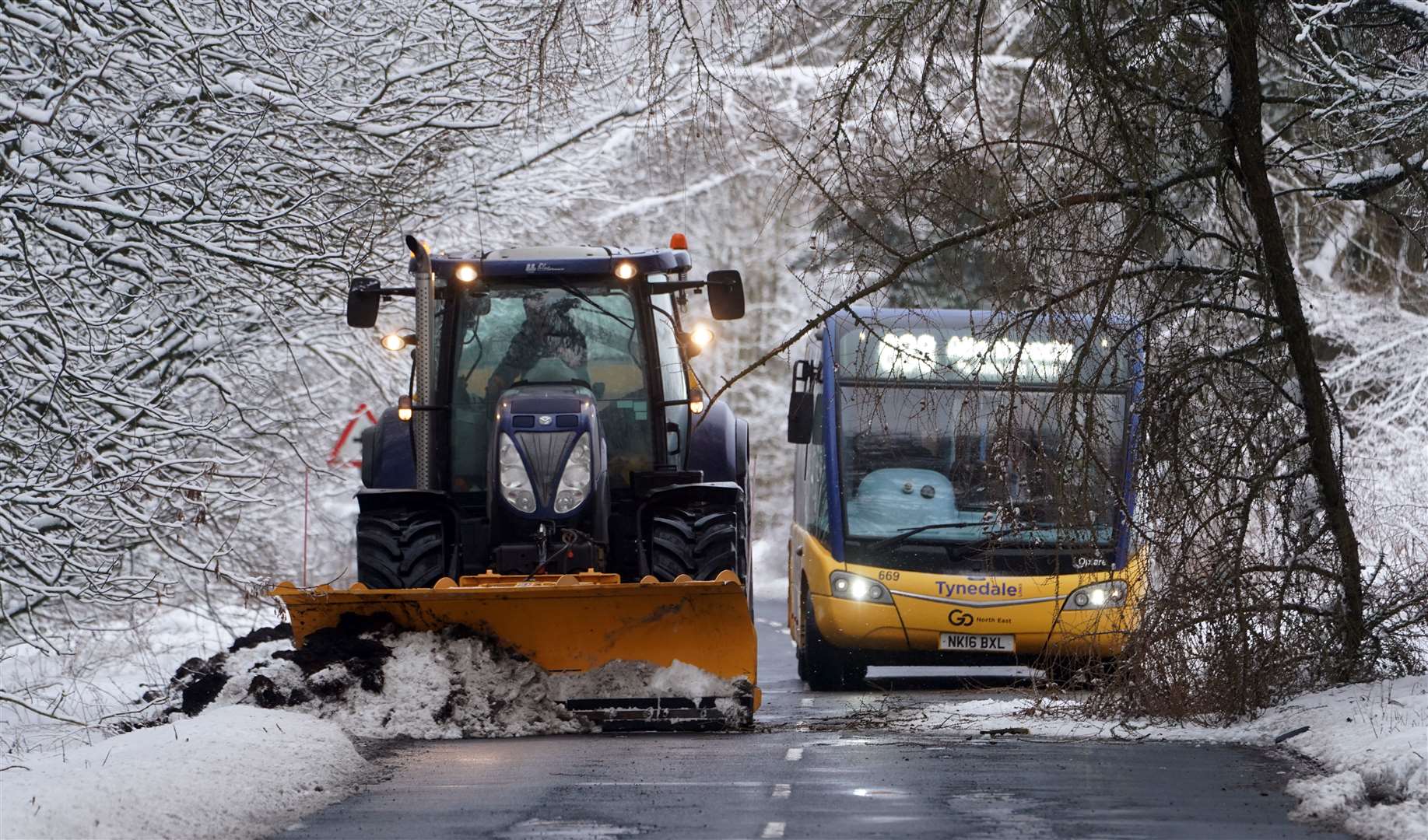
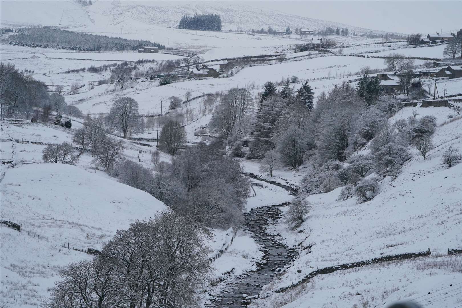
Much of Scotland was hit by a band of snow on Thursday morning which turned into more sporadic showers as it moved into northern England.
Forecasters said an even colder pool of air was moving down from Greenland which would bring biting temperatures overnight into Friday morning and a broader area of sleet and snow on Friday.
But the Met Office said the weekend would bring a “slight warming”, reducing the chances of snow and frost.
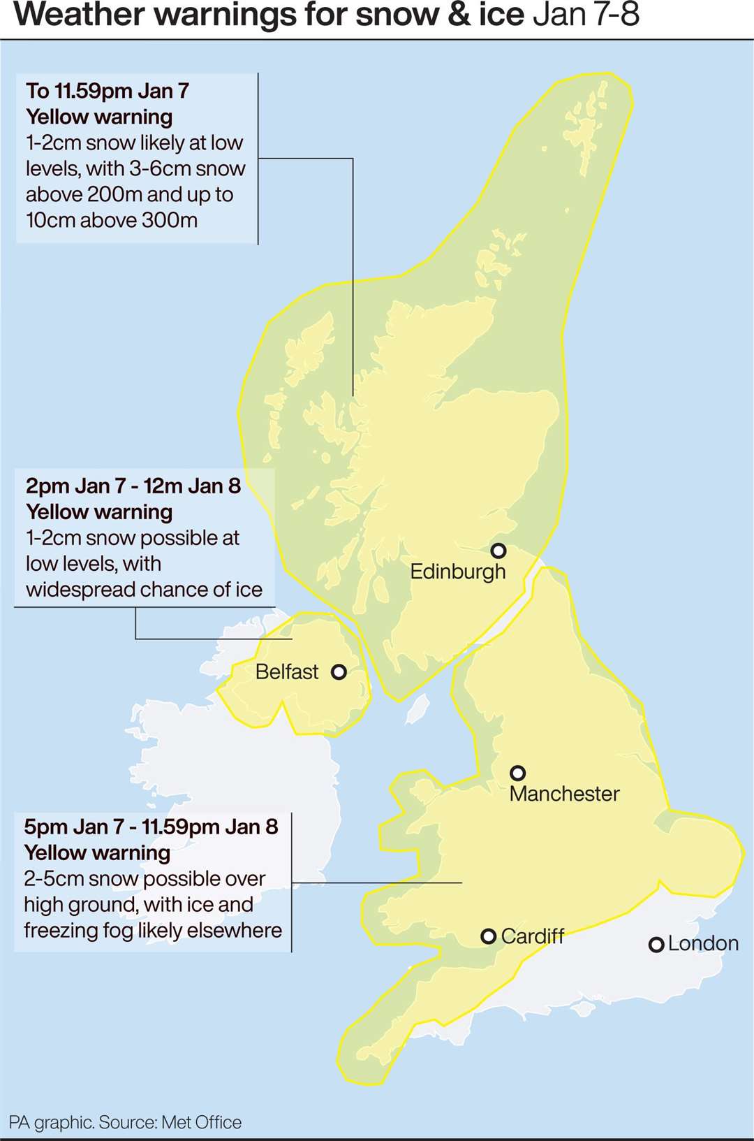
Met office spokesman Oli Claydon said yellow warnings for snow and ice were in place for much of the UK over the next two days and police forces and councils had issued calls to motorists to be careful on icy roads.
He said: “The wintry theme continues, certainly for the next couple of days, but we’re then looking at a warming trend with slightly less cold air moving in over the weekend.”
Mr Claydon said the front which moved down over Scotland into Friday morning had brought snow to most areas of the country, including at lower levels and also to higher ground in northern England.
Snow up to 11cm (4ins) deep was recorded in the Highlands at Loch Glascarnoch, with temperatures plummeting as low as minus 6.4C (20.5F) at Eskdalemuir in Dumfries and Galloway overnight.
Mr Claydon said some lower lying areas of northern English counties had also seen some accumulations, with snow lying in many parts of Cumbria and Northumberland on Thursday afternoon.
He said the south of England had been drier but that fog had kept temperatures below freezing in many areas, with Hereford and Worcester still at minus 2C (28.4F) by noon on Thursday.
Mr Claydon said the further band of cold air moving south later on Thursday would bring more wintry weather.
He said: “There’s an even colder pool of air coming in from Greenland going to be affecting Scotland.
“So, showers feeding into Scotland off the North Sea coming in as snow showers down to lower level.
“And a very cold night for sheltered glens over snow cover tonight, even as low as -10C (14F) to -15C (5F) possible.”
Mr Claydon said that overnight temperatures could drop to as low as minus 4C (24.8F) in urban areas in Scotland and minus 2C (28.4F) in London.

He said Friday would see snow possible even in southern areas of England but that larger accumulations were more likely over higher ground.
Three Environment Agency flood warnings were in place on Thursday afternoon for areas where flooding is likely, in the King’s Lynn and Peterborough areas as well on the River Derwent in North Yorkshire.
There were 22 alerts for areas where flooding is possible scattered across England but a further 11 had been stood down.