


Met Office: Yellow warning for Grampian as snow and ice returns
Published: 10:49, 12 January 2024
| Updated: 12:34, 12 January 2024
Register for free to read more of the latest local news. It's easy and will only take a moment.

A warning for snow and ice across the whole region is in place for the whole of Sunday as snow showers are likely to cause some travel disruption and icy surfaces, with the warning continuing on Monday.
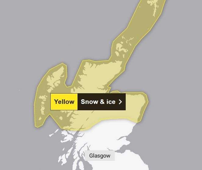
Through the second half of Saturday night, showers will fall as a mixture of rain at low levels and snow over higher ground, but present a chance of ice developing at all elevations.
Frequent showers will increasingly fall as snow to lower levels during Sunday.
Whilst accumulations will vary due to the nature of showers, some places may see 2-5 cm by the end of Sunday.
If driving, make sure you have some essentials in your car in the event of any delays.